
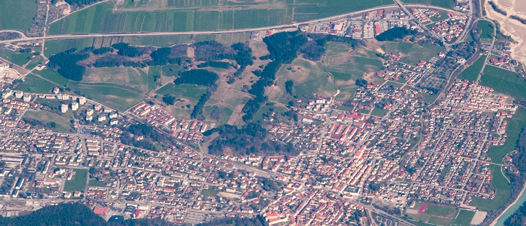
Satellite Maps: A Window to the Earth
Satellite maps have revolutionized the way we view and understand our planet. From navigation to environmental monitoring, these high-tech tools offer a real-time window into Earth’s most dynamic systems. Far beyond traditional road maps, satellite imagery powers everything from device GPS to global climate research.
A Brief Evolution
The concept of satellite mapping began in the 1970s with missions like NASA’s Landsat. Since then, technology has drastically evolved—improving the resolution, frequency, and accessibility of Earth imagery.
Practical Uses of Satellite Maps
Satellite maps play a valuable role in everyday life. GPS apps use them for navigation, while farmers rely on satellite imagery to monitor crop health and optimize harvests. In cities, planners use satellite data to map urban growth and plan infrastructure efficiently. Conservationists monitor deforestation, melting glaciers, and wildlife habits using regularly updated satellite data.
Responding to Emergencies
One of the most impactful uses of satellite mapping is in disaster response. Real-time satellite images help emergency services assess damage, locate survivors, and direct rescue operations after hurricanes, wildfires, and earthquakes. This was essential during crises like the 2020 wildfires in Australia and the COVID-19 pandemic.
Environmental Monitoring
Satellite maps are critical for tracking environmental changes. They allow scientists to observe rising sea levels, track carbon emissions, and monitor rainforest loss over time. Programs like Global Forest Watch use satellite data to detect illegal deforestation and take swift action.
The Road Ahead
Despite occasional challenges like cloud cover or limited resolution, satellite mapping continues to improve. AI and machine learning are enhancing maps, making them more precise and easier to analyze quickly. Future innovations like hyperspectral imaging and real-time global updates promise even deeper insights into our planet.
Conclusion
Satellite maps are more than just tools—they are essential for understanding, protecting, and managing our world. As technology evolves, these detailed images from space will remain a key asset in science, planning, and problem-solving.